
ISBN: 9789048193752
Presented in an accessible, user-friendly format, this atlas sets out all the major features revealed during one of the largest ever deep-sea mapping campaigns. A unique insight into the … Meer...
| Springer.com Nr. 978-90-481-9375-2. Verzendingskosten:Worldwide free shipping, , DE. (EUR 0.00) Details... |

2010, ISBN: 9048193753
[EAN: 9789048193752], Neubuch, [PU: Springer Netherlands], SCIENCE NATURE ANIMALS MARINE LIFE EARTH SCIENCES GEOGRAPHY OCEANOGRAPHY GEOWISSENSCHAFTEN GEOGRAFIE CONTINENTAL MARGIN DEEP-SEA… Meer...
| AbeBooks.de moluna, Greven, Germany [73551232] [Rating: 4 (von 5)] NEW BOOK. Verzendingskosten:Versandkostenfrei. (EUR 0.00) Details... |

2010, ISBN: 9789048193752
gebonden uitgave
[ED: Gebunden], [PU: Springer Netherlands], Dieser Artikel ist ein Print on Demand Artikel und wird nach Ihrer Bestellung fuer Sie gedruckt. - Provides a unique insight into the deep-wate… Meer...
| booklooker.de |

ISBN: 9789048193752
by Boris Dorschel; Andrew J. Wheeler; Xavier Monteys; Koen Verbruggen, PRINT ISBN: 9789048193752 E-TEXT ISBN: 9789048193769 Springer Nature eBook Other pricing structure might be availabl… Meer...
| VitalSource.com new in stock Germany. Verzendingskosten:zzgl. Versandkosten., exclusief verzendingskosten Details... |

2010, ISBN: 9789048193752
164 Seiten Hardcover/Großformat Das Buch befindet sich in einem ordentlich erhaltenen Zustand. ENGLISCH. Versand D: 2,95 EUR , [PU:Springer]
| buchfreund.de Versandantiquariat Petra Gros GmbH & Co. KG, 56070 Koblenz Verzendingskosten:Versandkosten innerhalb der BRD. (EUR 2.95) Details... |


ISBN: 9789048193752
Presented in an accessible, user-friendly format, this atlas sets out all the major features revealed during one of the largest ever deep-sea mapping campaigns. A unique insight into the … Meer...

Boris Dorschel|Andrew J. Wheeler|Xavier Monteys|Koen Verbruggen:
Atlas of the Deep-Water Seabed: - gebonden uitgave, pocketboek2010, ISBN: 9048193753
[EAN: 9789048193752], Neubuch, [PU: Springer Netherlands], SCIENCE NATURE ANIMALS MARINE LIFE EARTH SCIENCES GEOGRAPHY OCEANOGRAPHY GEOWISSENSCHAFTEN GEOGRAFIE CONTINENTAL MARGIN DEEP-SEA… Meer...

2010
ISBN: 9789048193752
gebonden uitgave
[ED: Gebunden], [PU: Springer Netherlands], Dieser Artikel ist ein Print on Demand Artikel und wird nach Ihrer Bestellung fuer Sie gedruckt. - Provides a unique insight into the deep-wate… Meer...
ISBN: 9789048193752
by Boris Dorschel; Andrew J. Wheeler; Xavier Monteys; Koen Verbruggen, PRINT ISBN: 9789048193752 E-TEXT ISBN: 9789048193769 Springer Nature eBook Other pricing structure might be availabl… Meer...
2010, ISBN: 9789048193752
164 Seiten Hardcover/Großformat Das Buch befindet sich in einem ordentlich erhaltenen Zustand. ENGLISCH. Versand D: 2,95 EUR , [PU:Springer]
Bibliografische gegevens van het best passende boek

| auteur: | |
| Titel: | |
| ISBN: |
Gedetalleerde informatie over het boek. - Atlas of the Deep-Water Seabed
EAN (ISBN-13): 9789048193752
ISBN (ISBN-10): 9048193753
Gebonden uitgave
pocket book
Verschijningsjaar: 2010
Uitgever: Springer
170 Bladzijden
Gewicht: 0,674 kg
Taal: eng/Englisch
Boek bevindt zich in het datenbestand sinds 2007-09-15T16:46:57+02:00 (Amsterdam)
Detailpagina laatst gewijzigd op 2023-10-13T22:46:50+02:00 (Amsterdam)
ISBN/EAN: 9789048193752
ISBN - alternatieve schrijfwijzen:
90-481-9375-3, 978-90-481-9375-2
alternatieve schrijfwijzen en verwante zoekwoorden:
Auteur van het boek: verbrugge, wheeler, dorschel, boris, verbruggen, dorsch, xavier monteys, dörschel, andre
Titel van het boek: atlas water, deep water, atlas ireland road bird, the deep, ireland her own, deep sea, deep value, boris
Gegevens van de uitgever
Auteur: Boris Dorschel; Andrew J. Wheeler; Xavier Monteys; Koen Verbruggen
Titel: Atlas of the Deep-Water Seabed - Ireland
Uitgeverij: Springer; Springer Netherland
164 Bladzijden
Verschijningsjaar: 2010-10-06
Dordrecht; NL
Taal: Engels
106,99 € (DE)
109,99 € (AT)
118,00 CHF (CH)
Available
XVI, 164 p. 97 illus., 96 illus. in color.
BB; Hardcover, Softcover / Geowissenschaften/Sonstiges; Ozeanographie (Meereskunde), Meere und Ozeane; Verstehen; Continental margin; Deep-sea biology; Seabed atlas; Seabed mapping; Underwater photography; marine and freshwater sciences; Ocean Sciences; Water; Physical Geography; Hydrologie und die Hydrosphäre; Physische Geographie und Topographie; EA
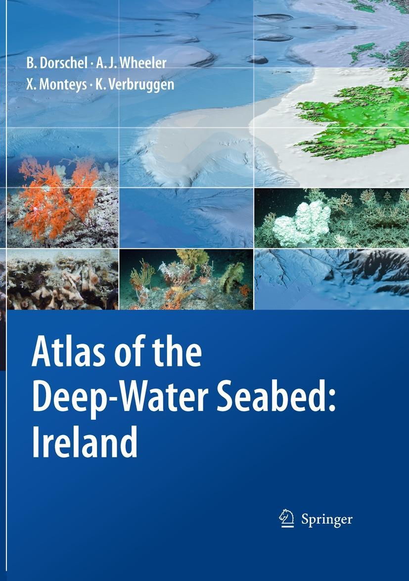
Presented in an accessible, user-friendly format, this atlas sets out all the major features revealed during one of the largest ever deep-sea mapping campaigns. A unique insight into the morphology of the seabed along the continental margin of the North-East Atlantic, it reveals for the first time many features that have hitherto been hidden beneath the waves. It is organised both thematically and by region, with the sea floor and its biological hotspots – areas of high biodiversity such as seamounts – shown at a resolution not possible before. The atlas presents everything from submarine canyons to coral carbonate mounds, using digital terrain models generated from multibeam data and photographs taken from unmanned deep-water vehicles (ROVs).
The full-colour imagery includes digital three-dimensional seabed maps as well as the photographs, with concise text descriptions and topic boxes used to highlight and explain the geological, biological and hydrographical features, in addition to their importance and context in the deep-sea realm. Alongside the wealth of background information and topic boxes on special highlights, extensive on-line resources link the reader to full data sets and GIS locations, while suggestions for further reading point to ongoing research highlights. This is a fascinating resource that will be of use to anyone involved in off-shore and underwater activities, whether scientific or commercial.
Part I: BACKGROUND & OVERVIEW. 1 Introduction. - 2. INSS Data Processing.- 3. The Irish Seabed.- 4. Below the Irish Seabed.- 5. On the Irish Seabed.- 6. Above the Irish Seabed.- Part II: THEMATIC ATLAS. 7. Canyons & Channels.- 8. Seamounts.- 9. Escarpments.- 10. Mound Features & Carbonate Mounds.- 11. Iceberg Ploughmarks.- Part III: REGIONAL ATLAS. 12. Southwest Approaches & Goban Spur.- 13. Porcupine Seabight.- 14. Porcupine Bank.- 15. Northernmost Irish Continental Margin.-16. Rockall Trough.- 17. Rockall Bank.- 18. Hatton-Rockall Basin & Hatton Bank.- Part IV: GOING DEEPER… 19. A Guide to the Digital Atlas.- Index.
Presented in an accessible, user-friendly format, this atlas sets out all the major features revealed during one of the largest ever deep-sea mapping campaigns. A unique insight into the morphology of the seabed along the continental margin of the North-East Atlantic, it reveals for the first time many features that have hitherto been hidden beneath the waves. It is organised both thematically and by region, with the sea floor and its biological hotspots – areas of high biodiversity such as seamounts – shown at a resolution not possible before. The atlas presents everything from submarine canyons to coral carbonate mounds, using digital terrain models generated from multibeam data and photographs taken from unmanned deep-water vehicles (ROVs).
The full-colour imagery includes digital three-dimensional seabed maps as well as the photographs, with concise text descriptions and topic boxes used to highlight and explain the geological, biological and hydrographical features, in addition to their importance and context in the deep-sea realm. Alongside the wealth of background information and topic boxes on special highlights, extensive on-line resources link the reader to full data sets and GIS locations, while suggestions for further reading point to ongoing research highlights. This is a fascinating resource that will be of use to anyone involved in off-shore and underwater activities, whether scientific or commercial.
Provides a unique insight into the deep-water seabed Uses full colour imagery, including deep-sea photography Illustrates and describes the morphological features along the continental margin of the NE Atlantic Includes many biological "hot-spots" of high biodiversity such as submarine canyons, seamounts, vertical escarpments and coral carbonate mounds Includes supplementary material: sn.pub/extras
Andere boeken die eventueel grote overeenkomsten met dit boek kunnen hebben:
Laatste soortgelijke boek:
9789048193769 Atlas of the Deep-Water Seabed: Ireland Boris Dorschel Author (Boris Dorschel/ Andrew J. Wheeler/ Xavier Monteys/ Koen Verbruggen)
< naar Archief...